- Consulting
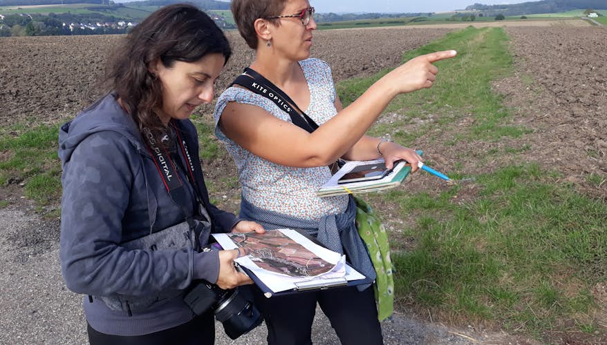
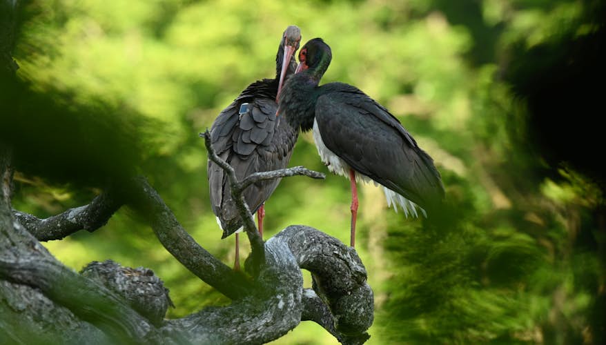
- Biological monitoring
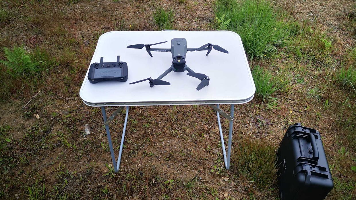
Drone expertise
- Type of mandate Characterization of natural habitats, mapping
- In progress Since 2020
- Location Wallonia
- 150 ha surveyed and mapped
Since 2020, this approach allows us to collect precise and real time data on biodiversity and the state of ecosystems.
This tool completes traditional inventories with significant added value. Thanks to the ability of drones to fly over vast areas, we can carry out detailed analyses of soils, vegetation and habitats, and optimize the time and resources required for these studies.
The advantages of this technology are numerous:
- Greater accuracy in habitat mapping
- Objective and continuous monitoring of the evolution of natural habitats over time
- Saves time and resources on field surveys
- Easier communication through the production of high-resolution photos and videos
Our expertise for this project:
- Flight planning : V. Claes
- Photogrammetry and modeling of Digital Surface Models, 3D models... : V. Claes
- Production of multimedia support : V. Claes